

Khemetic Nation News Network | World Desk | October 20, 2026
NASA scientists are tracking a powerful El Niño pattern developing over the Pacific Ocean, using satellite observations to understand how shifting ocean temperatures and water heights may affect coastal and weather conditions, including those important to California.
What NASA is actually measuring
In an October 15 report, the agency described observations from sea-level satellites and the PACE ocean-color mission. El Niño is a recurring natural climate pattern associated with unusually warm surface waters in portions of the equatorial Pacific. NASA said sea-surface temperatures in the eastern Pacific had climbed roughly 3 degrees Fahrenheit above the long-term average in monitored areas.
Satellites measure ocean height, surface temperatures and light reflected from seawater. Together with in-water observations, those measurements help researchers distinguish evolving conditions from forecasts and identify changes that may alter weather and marine ecosystems.
Why California should watch
Warm Pacific conditions can affect coastal waters and influence regional precipitation patterns, although a strong El Niño never guarantees a particular storm or rainfall outcome at a specific city. Local forecasts must still rely on current National Weather Service advisories and shorter-term weather models.
NASA reported that ocean-height changes associated with the event were visible moving toward the California coast. The observations provide evidence of an evolving ocean pattern—not certainty about the weather that any given neighborhood will experience this winter.
Sources: NASA’s October 15 scientific report and NASA Scientific Visualization Studio’s data maps.
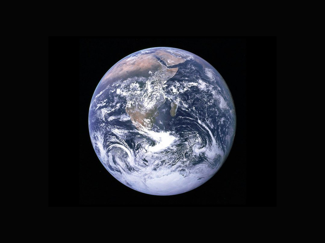
Featured image: NASA / Unsplash. Apollo-era image of Earth; not a 2026 El Niño observation.


